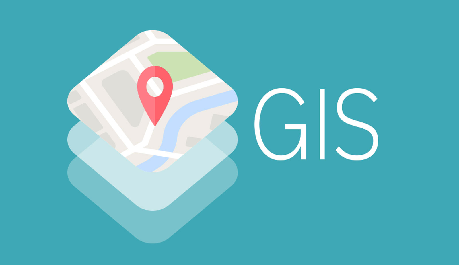
The difference between GIS and cartography is that GIS, is used to collect and analyze information that is somehow related to a geographical location. But cartography is the science of mapping. In the following, you will ..
Read more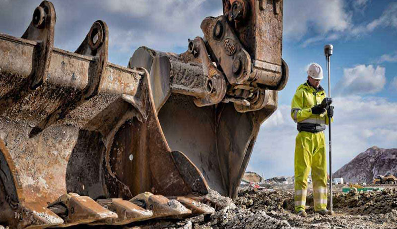
In addition to the L1 and L2 waves, the three-frequency GPS can also receive the L5 wave. Which is used to improve the quality of received information and optimize waves. Tarhgerad Sepahan Surveying Company with high ca ..
Read more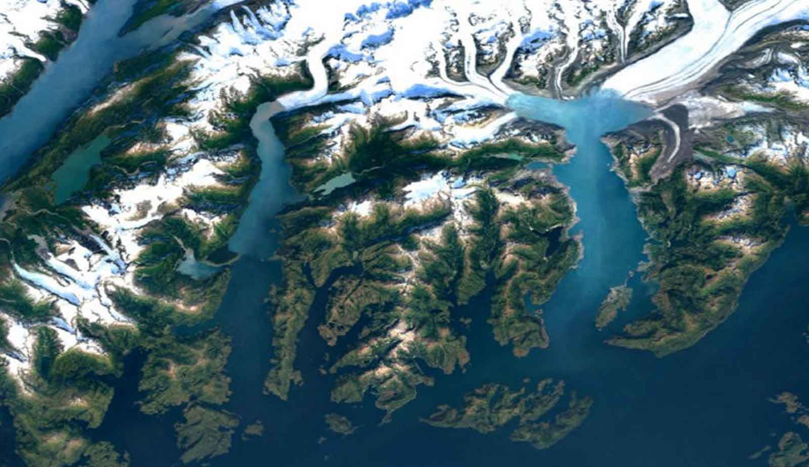
Satellite image processing means collecting information without physical contact from the ground surface effects. Imaging satellites capture the image at different wavelengths, the images obtained by the satellite image ..
Read more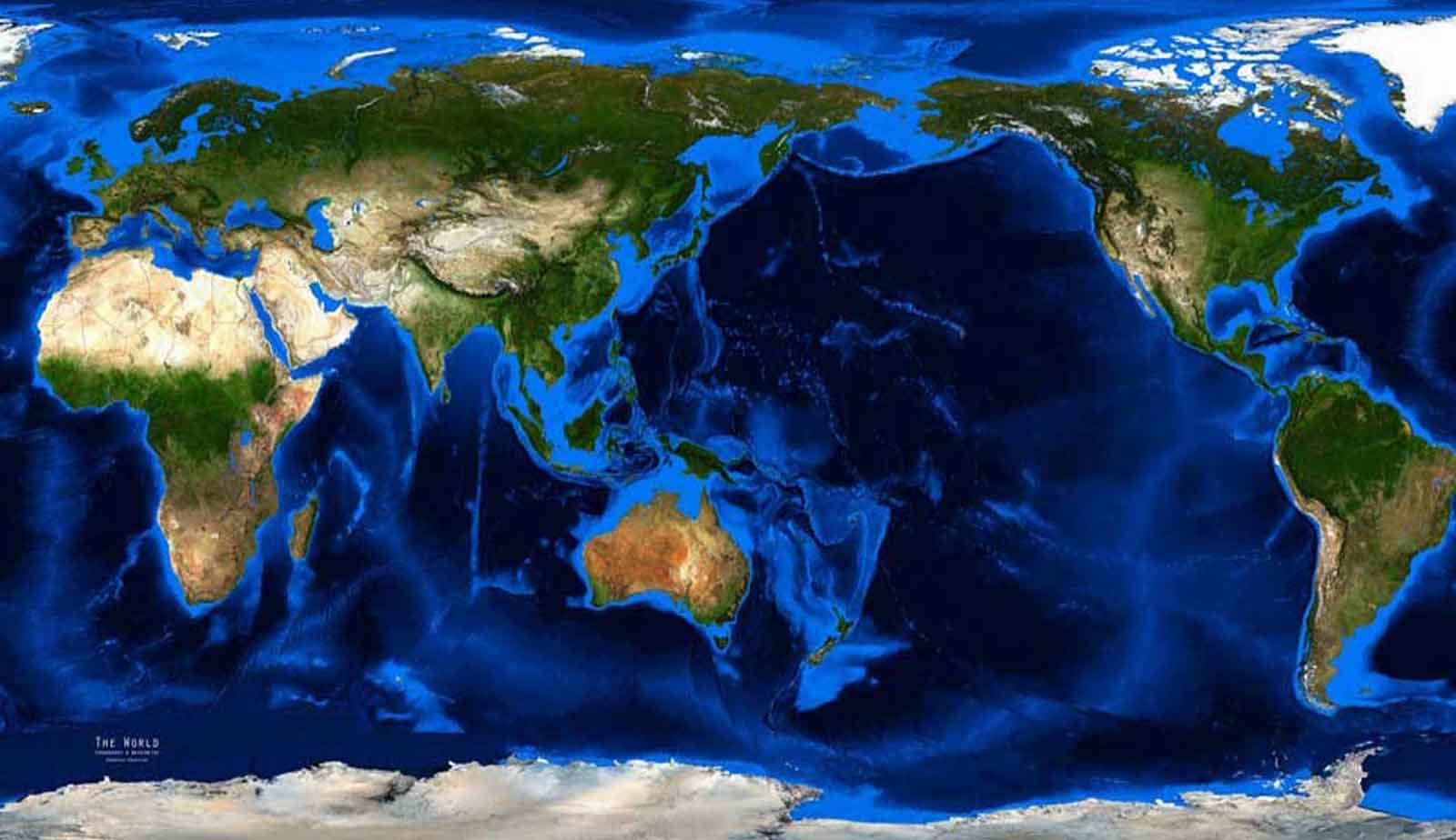
The topographic map shows the physical features of the earth's surface, including natural features and human features. Most topographic maps are obtained from satellite and aerial images and are widely used in geological ..
Read more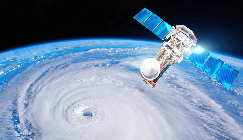
Tarhgerad Company is a powerful arm of engineers in surveying in order to prepare satellite maps. We always strive to satisfy our customers and we hope that our services in the field of satellite data sales will be usefu ..
Read more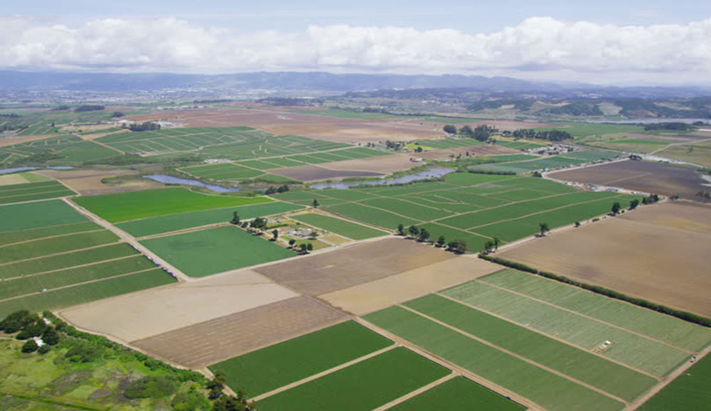
UAV mapping of agricultural lands improves the agricultural process, including crop efficiency, cost reduction and more accurate crop estimation. 70% of the country's lands do not have ownership documents, which can be s ..
Read more
Mapping using measurement tools and field operations is called ground mapping. Ground mapping is one of the services of Tarhgerad Sepahan Company. In each project, a number of points with high accuracy and strength are c ..
Read more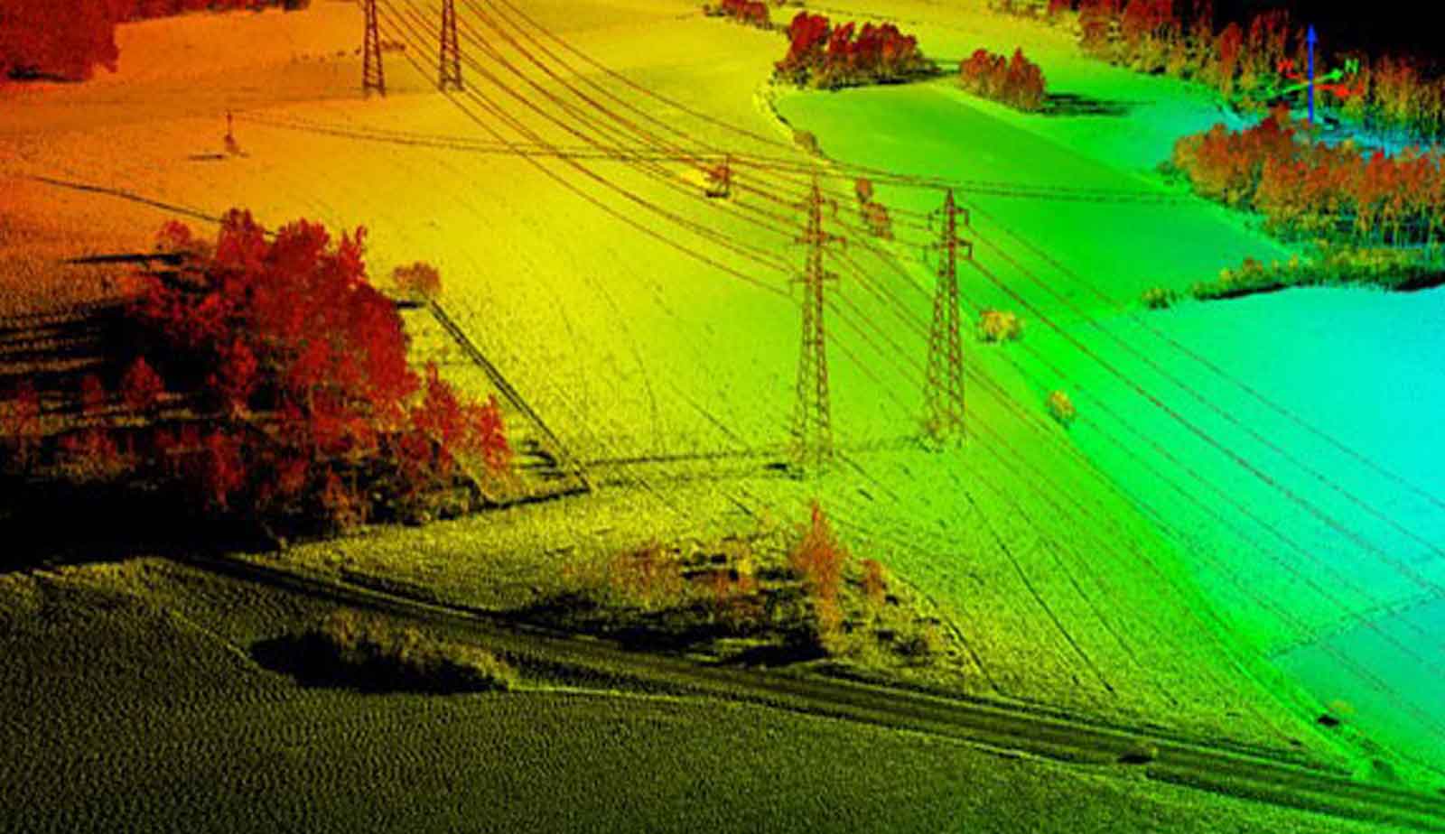
One of the most used applications of aerial mapping with UAVs is corridor mapping. It refers to areas that are several tens of meters or several hundred meters wide and several kilometers long. ..
Read more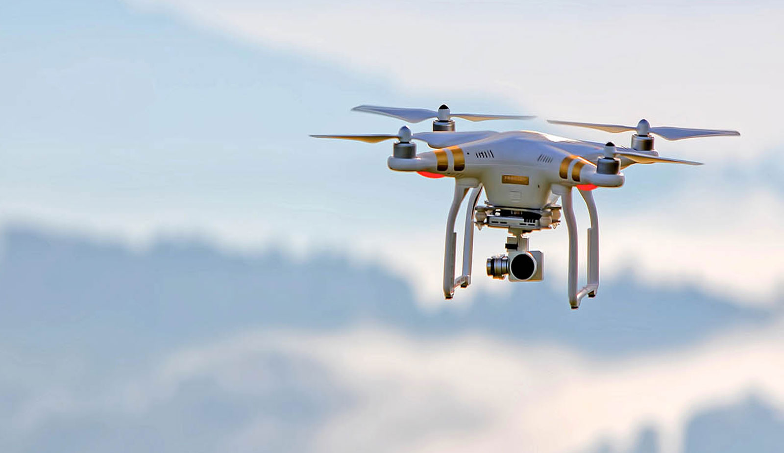
UAV mapping is one of the new methods for presenting digital data in today's world. In this method, the drone is used with a non-metric camera, the most important advantage of which is saving time and money. In the follo ..
Read more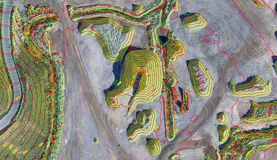
One of the activities of Tarhgerad Sepahan Company is satellite mapping with high accuracy and wide range in all areas. This has made it have a higher score among its competitors. ..
Read more
Tarhgerad
Unit 12, third floor, Milad Noor Complex, Foraat St., Valiasr St., Baharestan,Isfahan,Iran