About Us

Mapping is one of the advantages of using GPS system. In this article, we intend to discuss the nature of GPS in mapping, GPS structure, types of GPS, GPS application in mapping, GPS receivers, as wel
Read more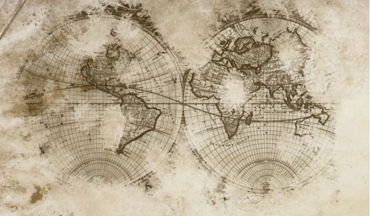
What is cartography? Cartography consists of the words Car or Cartogram meaning map (geographical statistics) and graphy meaning drawing. Cartography is the science and art of making maps. In the foll
Read more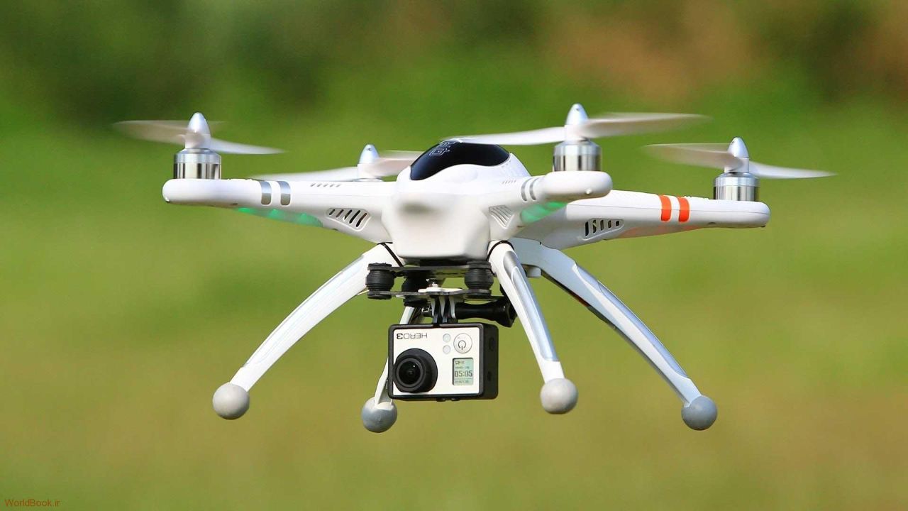
The use of UAVs in agriculture has advantages and disadvantages that it is best to get acquainted with all these cases, as well as the best decision is made when we have accurate, necessary and comple
Read more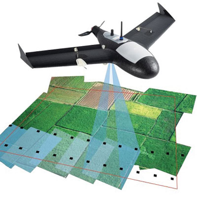
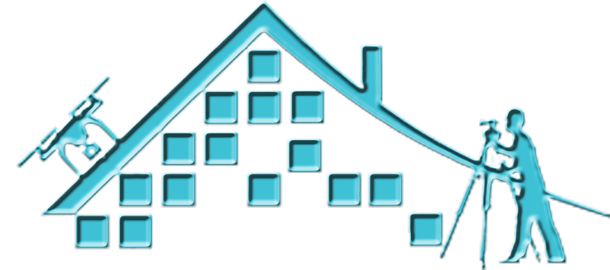
Establishing ground control points in UAV mapping is one of the areas of preparation for aerial imaging. In the following, we will examine the design of ground control points, the role of ground contr
Read more
Ground mapping is the science, art, and technique of accurately measuring the distances and angles between points on the earth's surface. In the following article, we briefly describe the implementati
Read more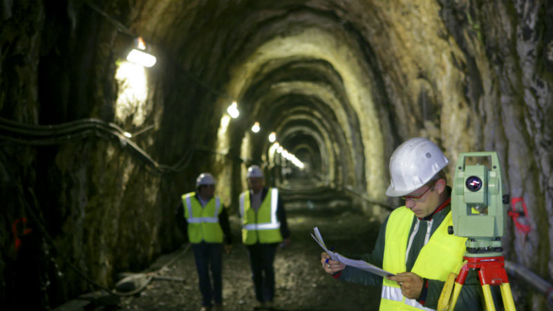
Underground mapping is one of the branches of surveying engineering. In this article, we talk about the following topics: mine and tunnel mapping, the difference between underground and surface mappin
Read more
Satellite mapping is the act of mapping Earth or other planets using satellites. Satellite imagery, the use of satellite imagery, the application of satellite mapping in geology, the benefits of satel
Read more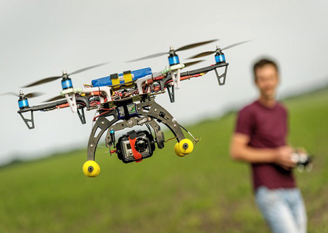
Surveying drone is a aircraft that is remotely piloted and used for various aerial surveying tasks and is a type of sensor that in addition to high accuracy and speed, provides the ability to pass thr
Read more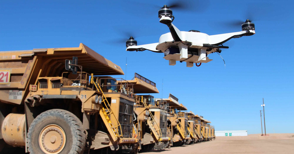
In this article we will talk about mapping of mines using drones, application of mapping of mines using drones, advantages of mapping of mines using drones, advantages of using drones compared to conv
Read more
UAV mapping or UAV photogrammetry is a new approach that can overcome many of the limitations of large-scale mapping. In this article, in addition to the advantages of UAV mapping, we have described t
Read more
Tarhgerad
Unit 12, third floor, Milad Noor Complex, Foraat St., Valiasr St., Baharestan,Isfahan,Iran